Featured Post

FPV Drone Services in Arizona: Southwest Drone Tech

Learn how FPV drones can transform your video projects with dynamic aerial shots and immersive visuals. Discover our services in Tucson, Phoenix, and across Arizona...

Blog Posts

FPV Drone Services in Arizona: Southwest Drone Tech

Learn how FPV drones can transform your video projects with dynamic aerial shots and immersive visuals. Discover our services in Tucson, Phoenix, and across Arizona...

Insurance Inspections Using Drones for Faster Claims

Discover how drone inspections accelerate insurance claims by providing faster, more accurate property assessments for homeowners and insurance providers...

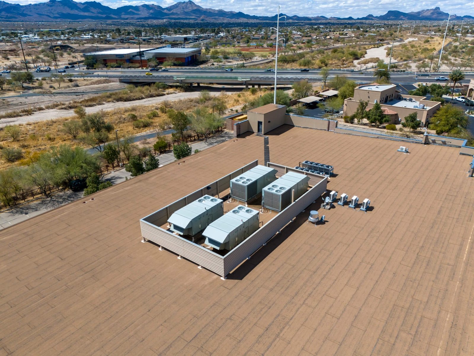
Using Drone Photography to Document Property Conditions

Learn how drone photography provides insurance companies with high-quality images to document property conditions, helping to streamline claims processes and reduce disputes...

FPV Drone Fly-Throughs for Real Estate in Arizona

Stand out in Arizona’s competitive real estate market with FPV drone fly-throughs and handheld footage, offering cinematic visuals that captivate potential buyers and speed up sales...

Arizona Cities and Counties Served by Southwest Drone Tech

Southwest Drone Tech serves professional drone services across Southern Arizona. From Tucson to Phoenix, we deliver high-quality aerial photography, mapping, and 3D modeling to support real estate...

Drone Marketing for Wineries, Vineyards, and Event Venues

Enhance your winery, vineyard, or event venue's appeal with stunning aerial imagery, on-the-ground visuals, and data-driven insights. Discover how Southwest Drone Tech can elevate your business in...

Drone Marketing Benefits for Animal Farms & Petting Zoos

Discover how drone technology elevates marketing for animal farms and petting zoos in Arizona, offering stunning visuals to captivate audiences and boost visitor engagement...

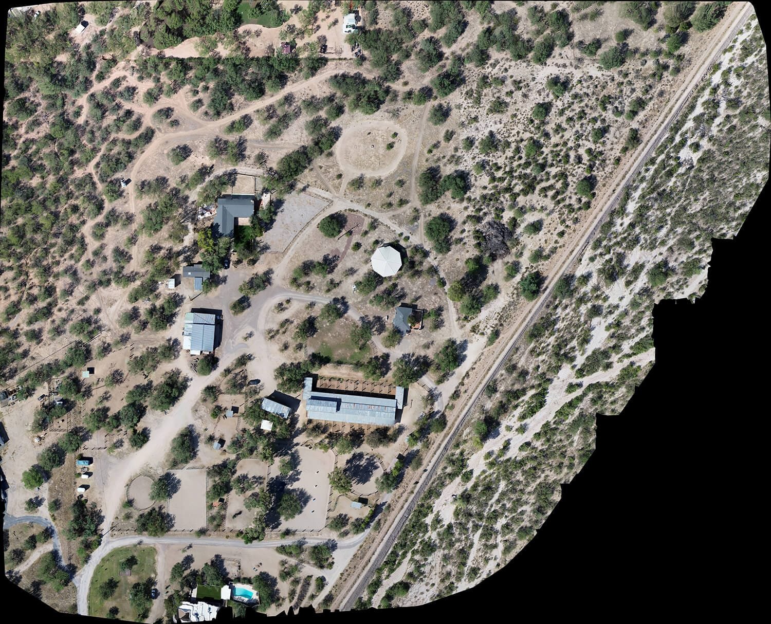
The Benefits of Yearly Orthomosaic Mapping and Progress Imaging

Discover how yearly orthomosaic mapping and progress imaging can enhance ranch management. Learn how aerial data collection helps ranch owners track changes, monitor projects, and make more informed...

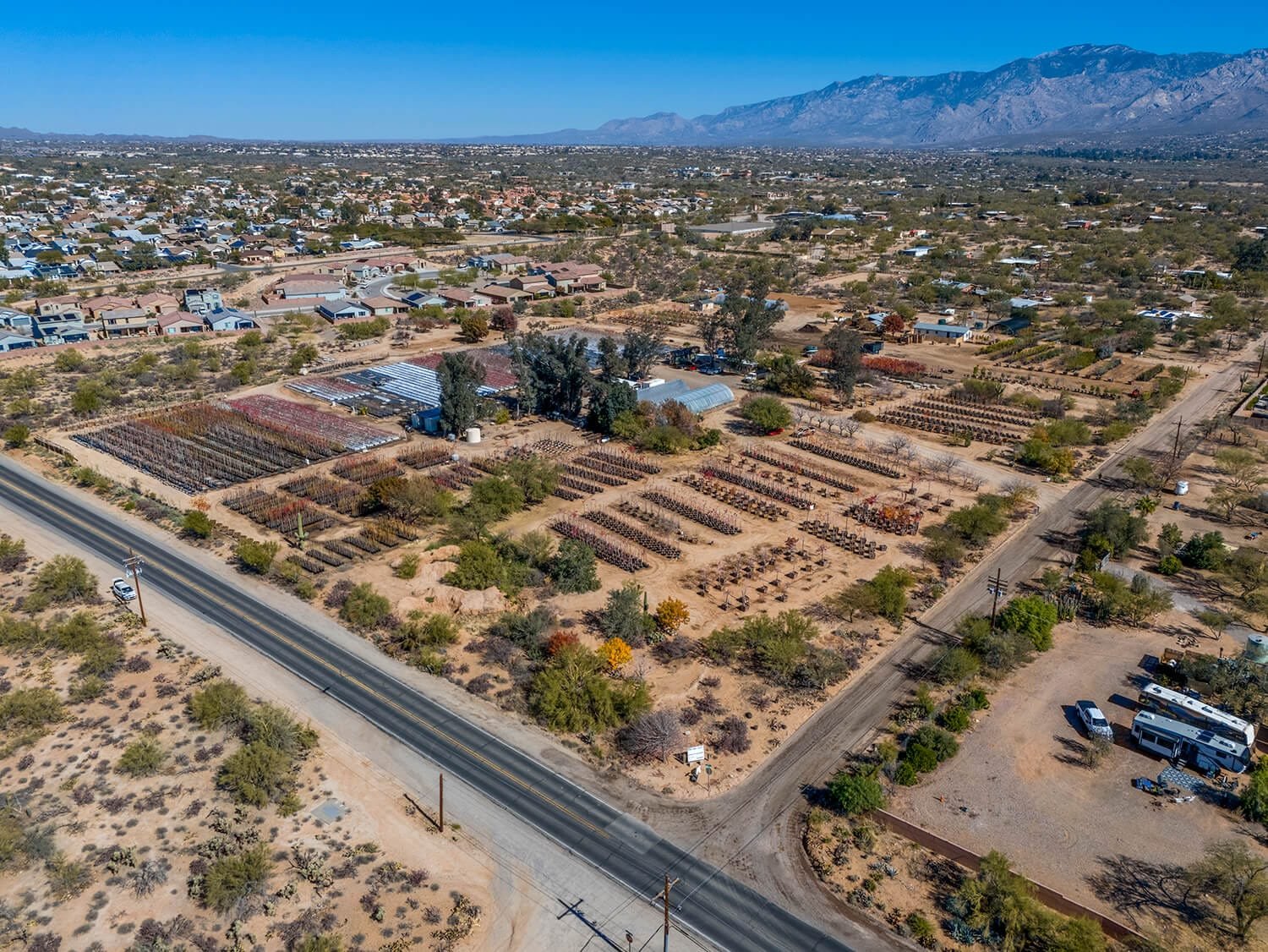
Drone Services for Land Development in Arizona

Discover how drone services are transforming land development projects in Arizona, providing aerial photography, video, mapping, and before-and-after imagery for accurate, efficient progress tracking...

Southwest Drone Tech LLC Disclaimer

While Southwest Drone Tech LLC excels in aerial data collection, it is important to note that we do not provide interpretations of survey-grade information. For projects where precise measurements are essential, you must consult a licensed land surveyor or survey engineer. We can collaborate with your surveyor to supply valuable data, but our services do not replace the need for a licensed land surveyor in any jurisdiction.

We do offer visual markers or outlines of property areas in our imagery as part of our packages; however, these are for general visual reference only and are not legally binding or survey-grade. This standard applies universally to all drone data collection services unless they employ a licensed surveyor. We do not provide formal boundary delineations for home lots (whether developed or undeveloped) intended for sale due to these limitations.