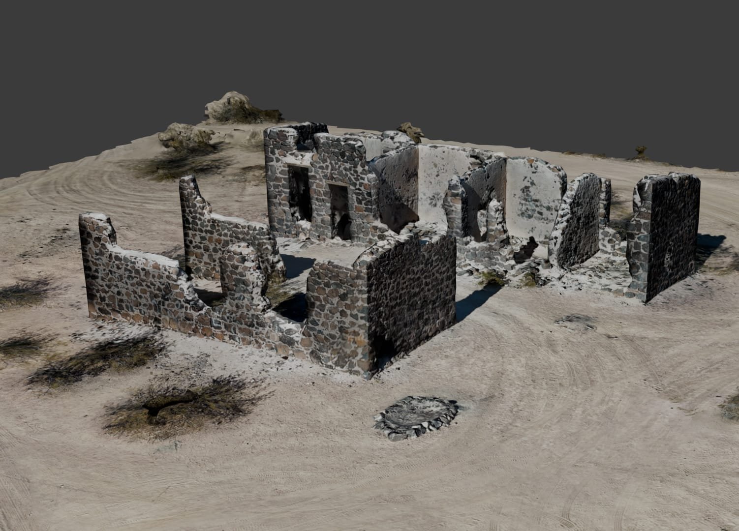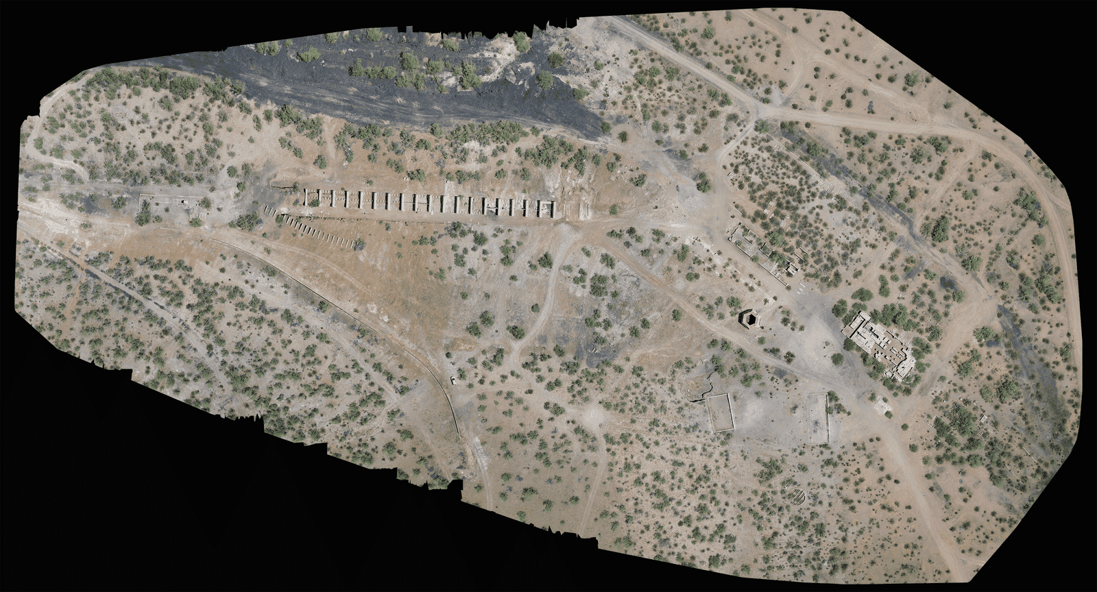
3D Modeling
At Southwest Drone Tech, our 3D modeling services offer a cutting-edge approach to visualizing and analyzing your projects, properties, and landscapes. Utilizing advanced drone technology and sophisticated software, we create accurate and detailed 3D models that provide a comprehensive perspective and valuable insights for your needs.
Whether you require precise topographic models, architectural visualizations, or detailed site plans, our 3D modeling services are designed to meet your specific requirements.
Our Comprehensive Approach to 3D Modeling
Utilizing state-of-the-art drones and advanced photogrammetry software, Southwest Drone Tech excels in creating high-quality 3D models across Tucson, Phoenix, and Arizona. Our technology captures intricate details and accurate representations, offering a detailed and realistic view of your projects, properties, or landscapes.
Each 3D model we produce is meticulously crafted to enhance your project planning, design, and analysis. We ensure that every model reflects precise measurements and realistic depictions, providing invaluable insights and supporting your specific goals.
In addition to model creation, we provide extensive data processing and analysis services. This comprehensive approach guarantees that your 3D models are not only detailed and accurate but also actionable and tailored to meet the unique requirements of your project. From initial capture to final output, we focus on delivering a product that supports your strategic objectives and enhances your decision-making process.
3D Model Park by swdt on Sketchfab
3D Modeling Services:
- Real Estate Visualizations: Create detailed 3D models of properties to showcase design, layout, and surroundings.
- Construction Site Models: Document and analyze construction progress with accurate 3D models that track changes over time.
- Architectural Design: Generate precise 3D representations of architectural designs to aid in planning and presentations.
- Topographic Mapping: Produce detailed topographic models for land analysis and site planning.
- Environmental Analysis: Capture and analyze natural landscapes to monitor changes and assess environmental impacts.
- Urban Planning Models: Develop comprehensive 3D models for urban development projects and infrastructure planning.

Why Choose Southwest Drone Tech for 3D Modeling?
- High-Resolution, Detailed Models: We use advanced drones and photogrammetry techniques to create precise and highly detailed 3D models.
- Experienced Operators and Analysts: Our team combines expert drone piloting with sophisticated modeling and analysis skills to deliver accurate and valuable results.
- Custom-Tailored Solutions: We offer flexible packages and customized 3D modeling services designed to meet the unique needs of different projects and industries.
- Comprehensive Data Processing: We perform thorough data processing and analysis to ensure your 3D models are accurate, informative, and actionable.
- Innovative Visualization Techniques: We employ cutting-edge visualization tools to enhance the clarity and usability of your 3D models, providing a more interactive and insightful experience.

FAQ
What types of 3D modeling services do you offer?
We offer a range of 3D modeling services, including real estate visualizations, construction site models, architectural design, topographic mapping, environmental analysis, and urban planning models.
How can 3D modeling benefit my business?
3D modeling provides detailed and accurate visual representations, aiding in project planning, design presentations, and data analysis.
In what ways can 3D models enhance my real estate listings?
Detailed 3D models can showcase properties’ design, layout, and surroundings, providing potential buyers with a comprehensive view.
Do you provide 3D modeling services for construction projects?
Yes, we offer 3D modeling services to document construction progress and track changes over time.
Can drone technology be used for architectural design?
Absolutely, drones capture detailed data that is used to create precise 3D models for architectural design and planning.
Are there any restrictions on where you can fly drones?
Yes, drone flights are subject to local regulations and airspace restrictions. We ensure compliance with all relevant laws and obtain necessary permissions for each flight.
What file formats do you provide for 3D models and data?
We provide 3D models in various formats, including OBJ, FBX, and other industry-standard formats, depending on your needs.
What makes your 3D modeling services stand out in Arizona?
Our services stand out due to our advanced drone technology, experienced team, and tailored solutions designed for diverse project needs across Arizona.
How do you ensure the accuracy of the final 3D model?
We use high-resolution drones and detailed data processing techniques to ensure that our 3D models are accurate and reliable.
How do I schedule a 3D modeling session?
Contact us to discuss your project, request a quote, or schedule a consultation. We’ll work with you to set up a session that meets your needs.
Captivate Your Audience – Contact Us Today!
Southwest Drone Tech LLC Disclaimer
While Southwest Drone Tech LLC excels in aerial data collection, it is important to note that we do not provide interpretations of survey-grade information. For projects where precise measurements are essential, you must consult a licensed land surveyor or survey engineer. We can collaborate with your surveyor to supply valuable data, but our services do not replace the need for a licensed land surveyor in any jurisdiction.
We do offer visual markers or outlines of property areas in our imagery as part of our packages; however, these are for general visual reference only and are not legally binding or survey-grade. This standard applies universally to all drone data collection services unless they employ a licensed surveyor. We do not provide formal boundary delineations for home lots (whether developed or undeveloped) intended for sale due to these limitations.
