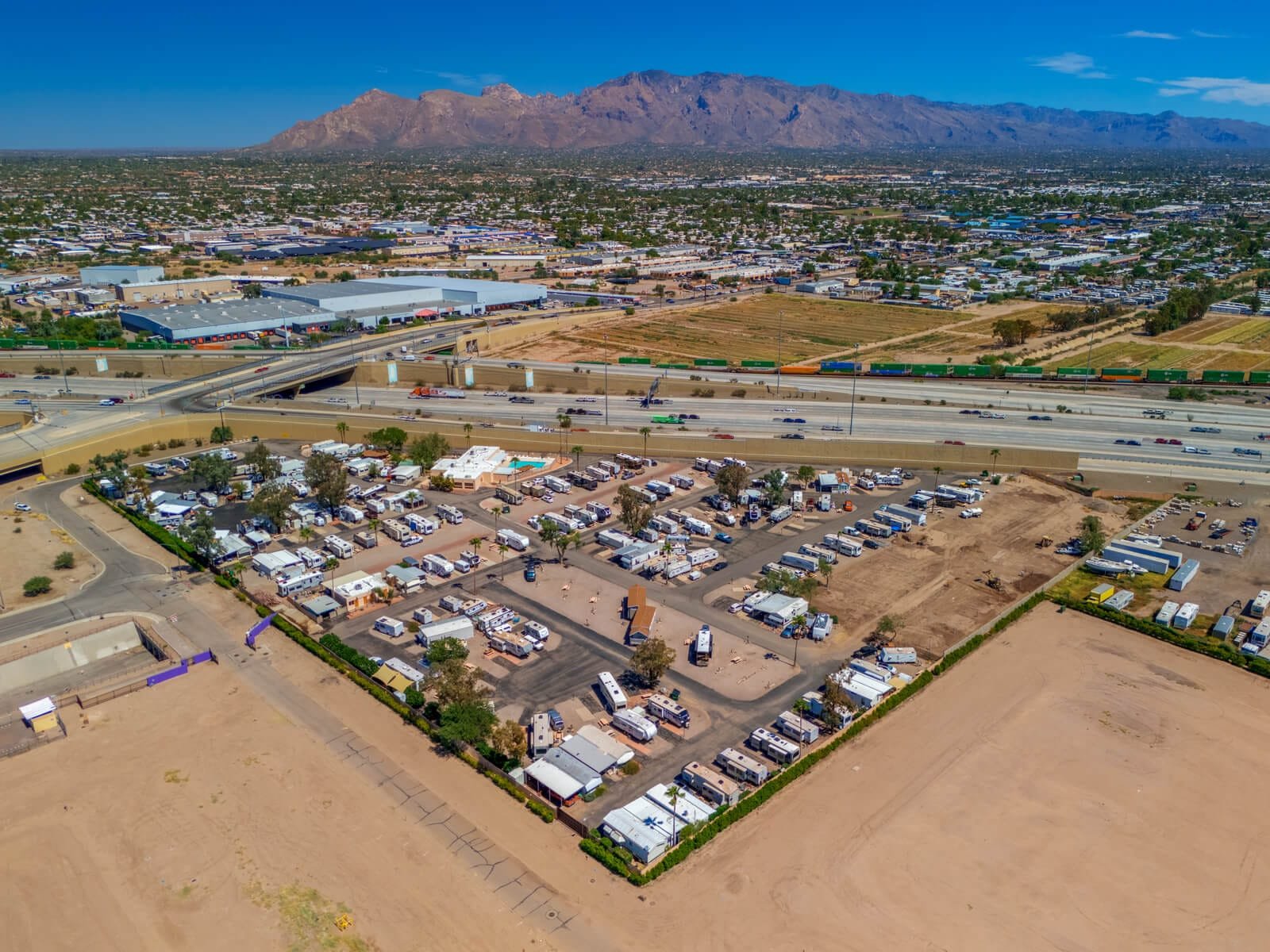
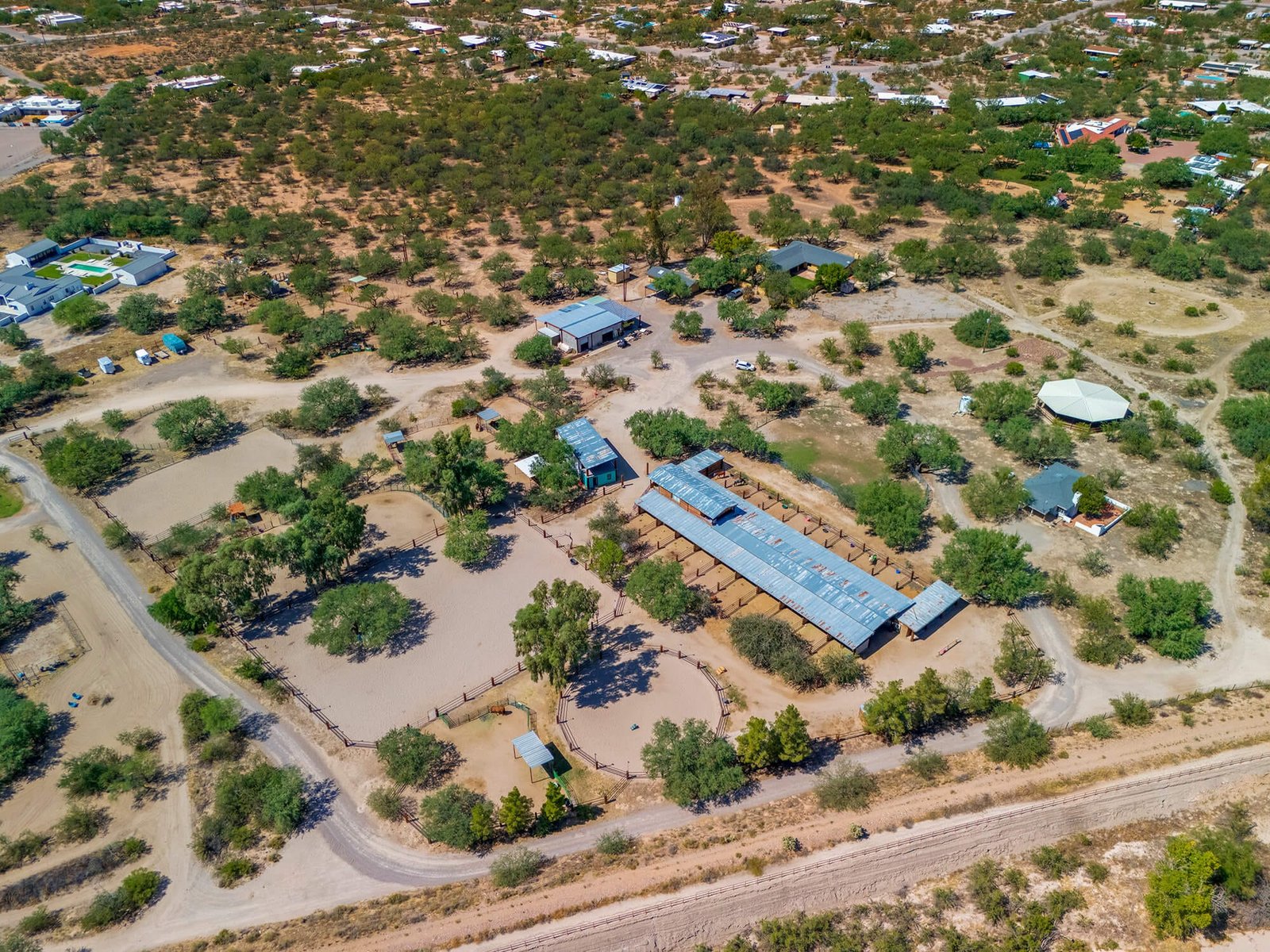
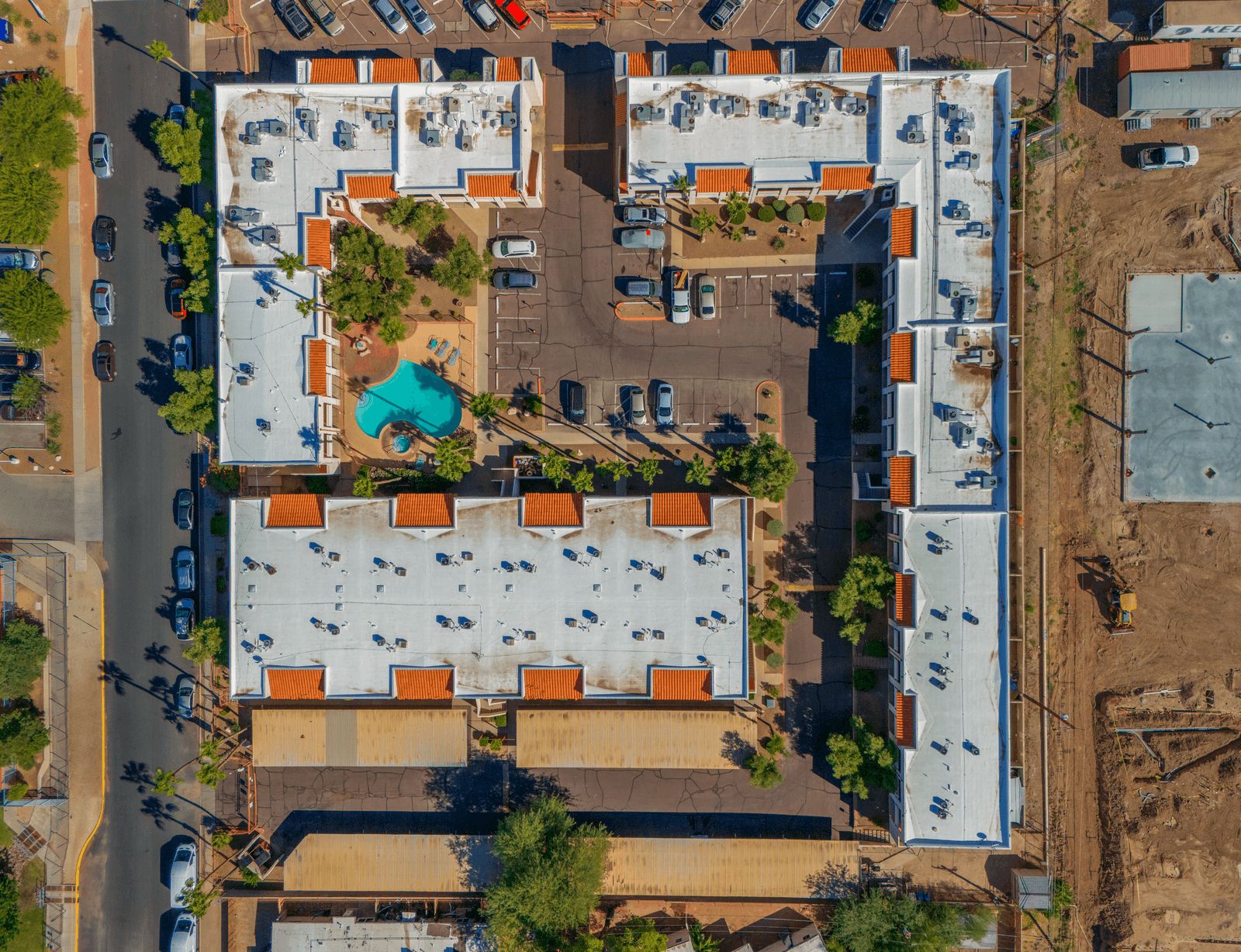
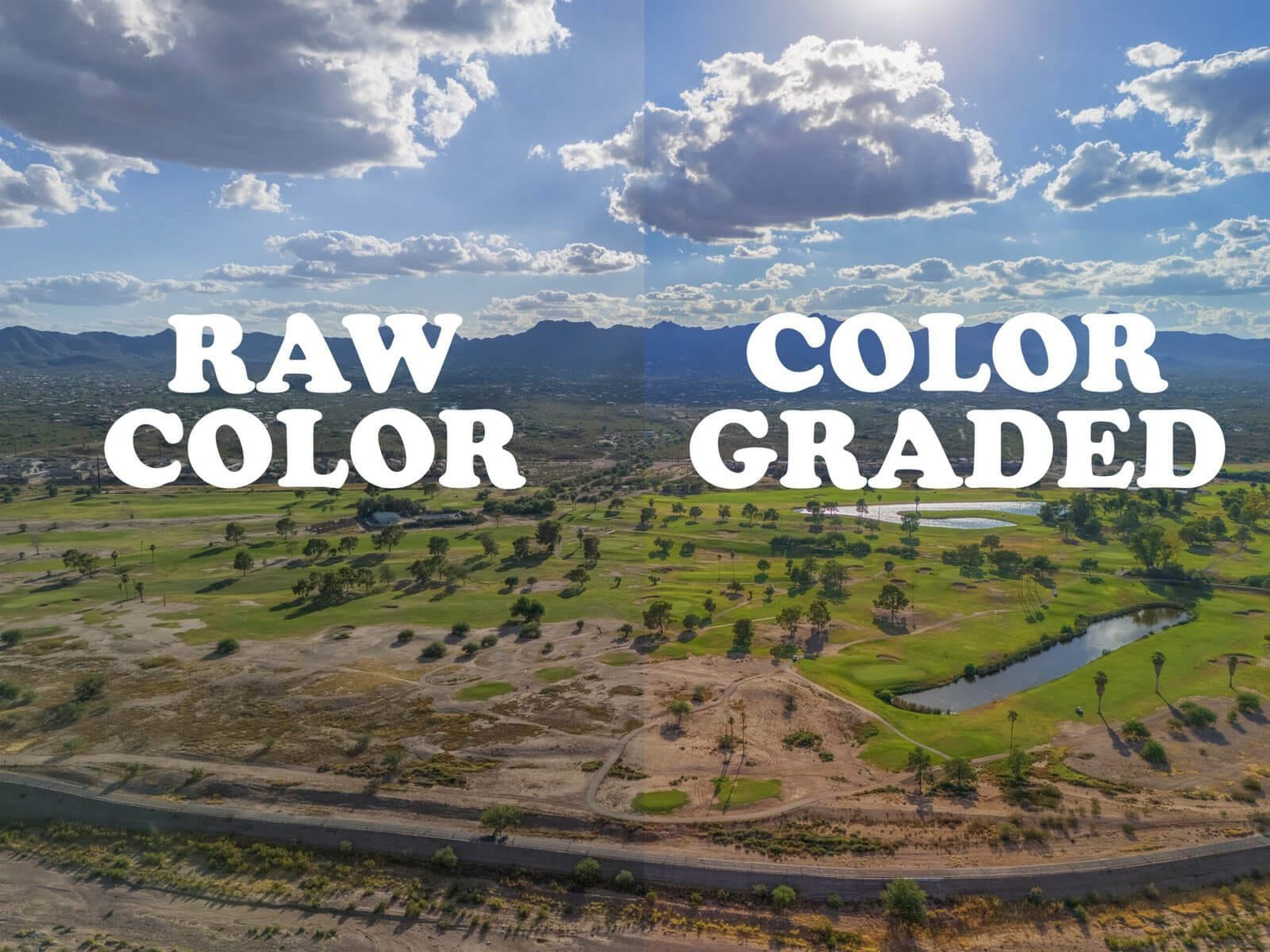
At Southwest Drone Tech, we deliver a full range of expert drone services tailored to meet the unique needs of businesses across Tucson, Phoenix, and Southern and Central Arizona. From stunning aerial photography and cinematic FPV flythroughs to precise 3D mapping, detailed inspections, and polished video production, our solutions help you showcase your work with clarity and impact.
Serving industries including real estate, construction, agriculture, marketing, insurance, solar, telecommunications, retail, and land development, we combine advanced drone technology with in-house editing expertise to ensure every project exceeds expectations.
With a focus on reliability, safety, and creative storytelling, Southwest Drone Tech provides professional, flexible packages designed to elevate your visual content and help your business stand out in today’s competitive market.
FAA Part 107 Certified
Fully Insured
INNOVATIVE
About Us
Welcome to Southwest Drone Tech LLC — Your Trusted Drone Partner in Arizona
Based in Tucson and serving Southern and Central Arizona, Southwest Drone Tech LLC is an FAA-certified and fully insured drone services company committed to delivering breathtaking aerial imagery and comprehensive video production tailored to your business needs.
Owner-operated, we combine cutting-edge drone technology with creative storytelling to help real estate agents, contractors, small businesses, and marketing teams elevate their visual content and engage customers like never before.
Whether you’re showcasing a luxury home, tracking construction progress, or creating social media reels that capture attention, our team provides professional, high-resolution aerial footage, immersive FPV flythroughs, and smooth handheld video — all edited in-house for quality and speed.
We pride ourselves on FAA compliance, safety, and affordable, flexible packages designed to fit budgets of all sizes without compromising on quality.
Let Southwest Drone Tech help you stand out with stunning visuals that drive results. Contact us today to discuss your next project!
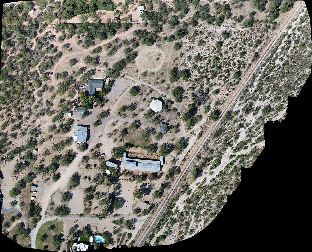
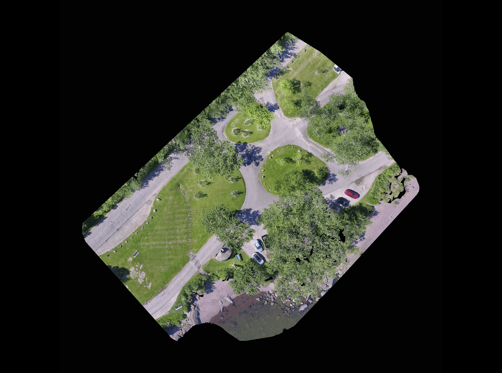
While Southwest Drone Tech LLC excels in aerial data collection, it is important to note that we do not provide interpretations of survey-grade information. For projects where precise measurements are essential, you must consult a licensed land surveyor or survey engineer. We can collaborate with your surveyor to supply valuable data, but our services do not replace the need for a licensed land surveyor in any jurisdiction.
We do offer visual markers or outlines of property areas in our imagery as part of our packages; however, these are for general visual reference only and are not legally binding or survey-grade. This standard applies universally to all drone data collection services unless they employ a licensed surveyor. We do not provide formal boundary delineations for home lots (whether developed or undeveloped) intended for sale due to these limitations.