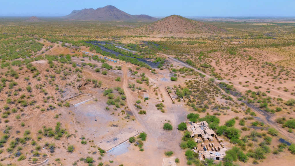
Planning and Executing a Drone Video Project
Discover the step-by-step process of planning and executing a drone video project, from initial concept to final edit. Learn about storyboarding, location scouting, filming techniques, and editing workflows for a professional result.
Planning and Executing a Drone Video Project Read More »


