Featured Post
Video production in Tucson is the primary engine behind the region's fastest-growing industries. Discover how cinematic media and drone storytelling drive ROI...
Blog Posts
Video production in Tucson is the primary engine behind the region's fastest-growing industries. Discover how cinematic media and drone storytelling drive ROI...
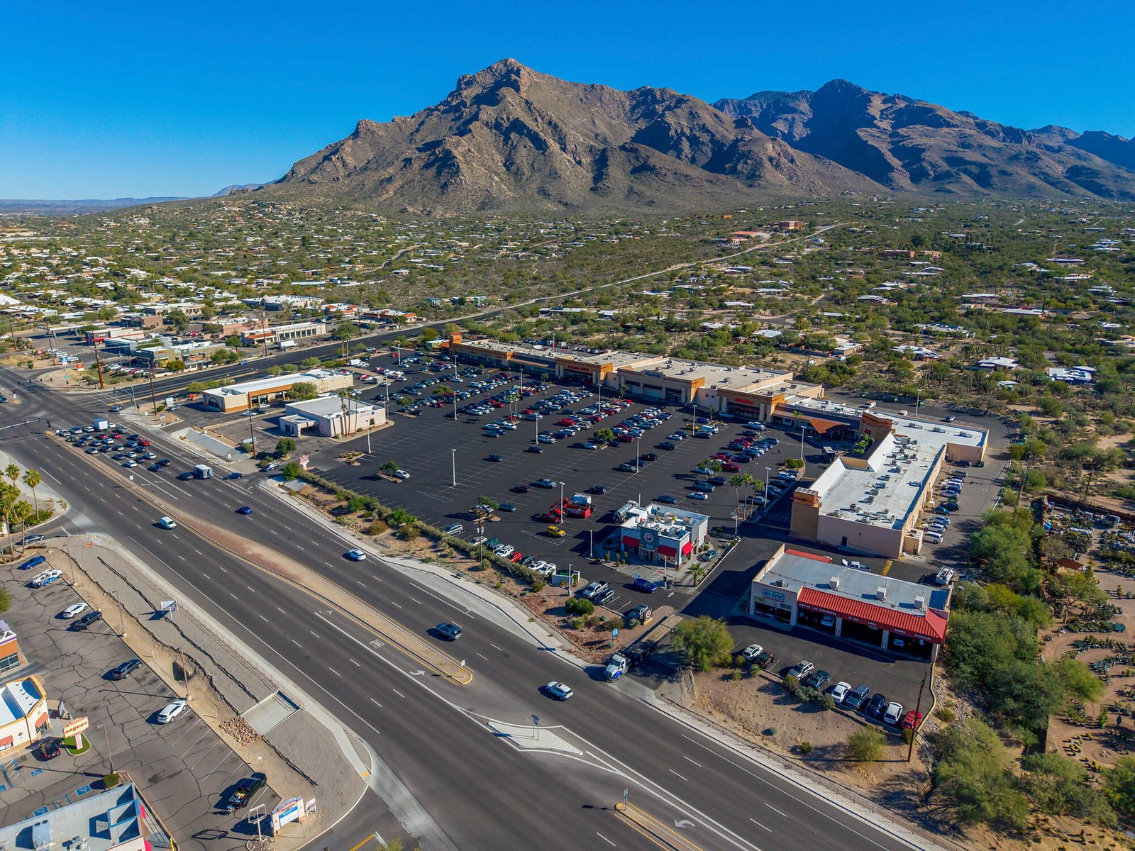
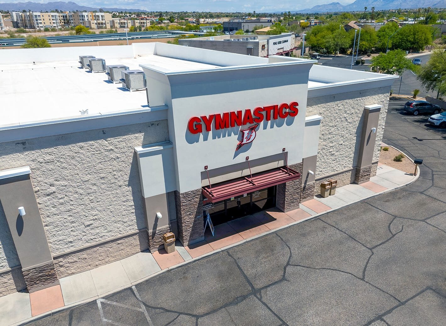
From aerial photos for retail listings to roof and parking lot inspections and cinematic marketing video, Southwest Drone Tech delivers full-service drone solutions for shopping centers and malls...
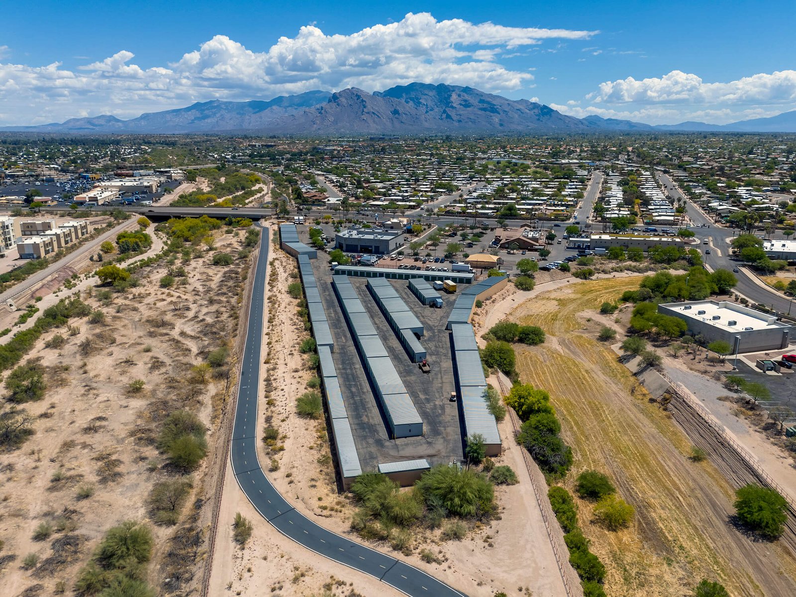
Southwest Drone Tech delivers expert drone and FPV storage unit tours in Arizona, showcasing proximity, amenities, and pricing to attract renters in Phoenix, Tucson, Chandler, and beyond...
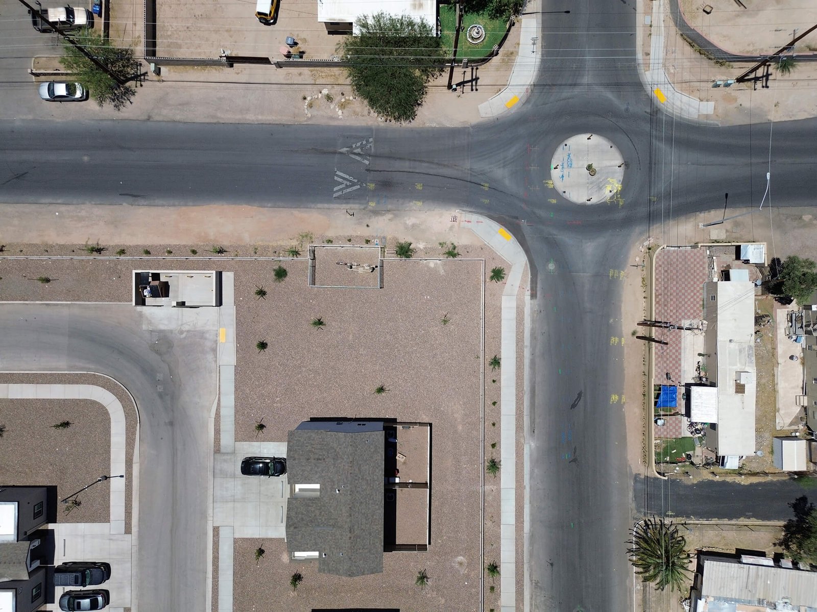
Discover how Arizona contractors and engineering firms benefit from drone inspections, before/after documentation, and high-quality marketing content for road work projects in Phoenix, Tucson, and...
Southwest Drone Tech offers aerial drone footage, FPV flythroughs, photography, and full-service video editing for Tucson and Phoenix businesses, restaurants, events, and more...
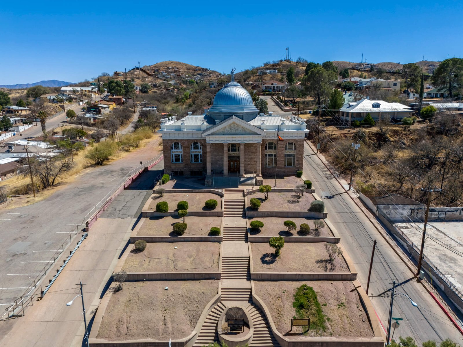
See Nogales like never before. Explore drone photos and video of the Nogales border wall and town, and learn how Southwest Drone Tech serves local industries with aerial and FPV services...
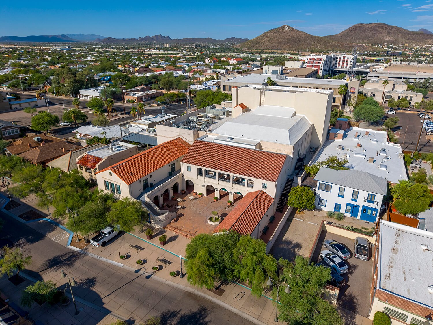
Discover Downtown Tucson’s energy with Southwest Drone Tech’s aerial photos and video — historic streets, new developments, and local highlights from above...
Elevate your Arizona commercial office listings with professional drone video production. Serving Tucson, Phoenix, and Chandler with full aerial and ground coverage...
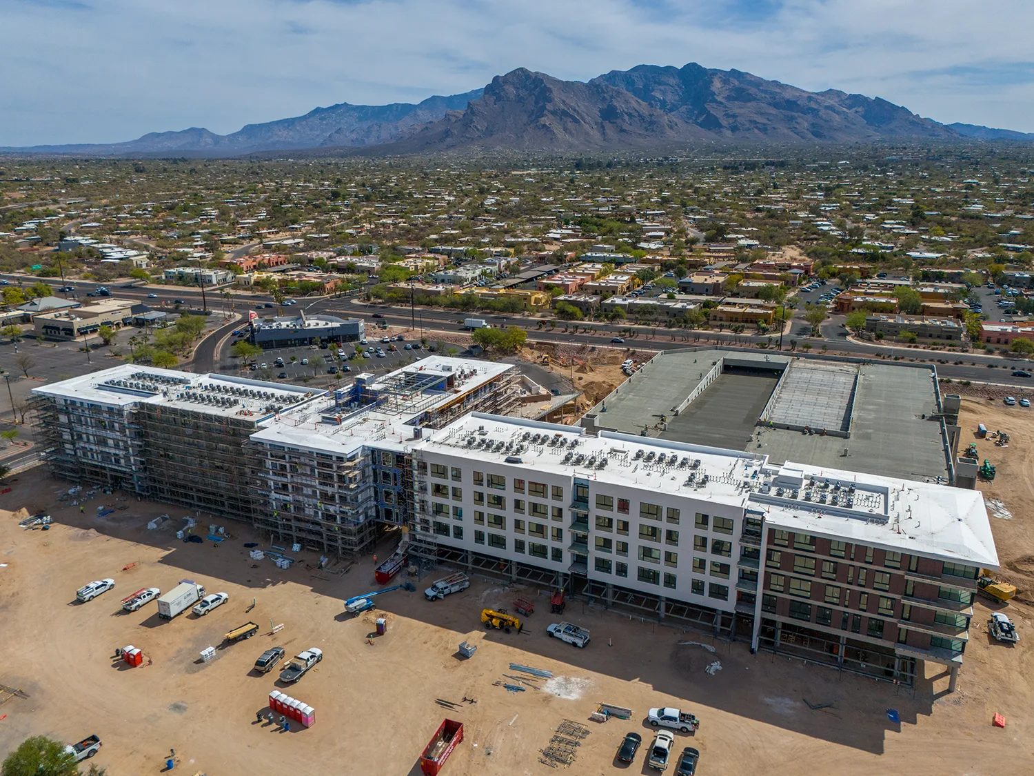
Southwest Drone Tech is the top choice for drone services on construction projects in Marana, AZ. From aerial progress tracking to immersive FPV flythroughs, we cover Marana, Tucson, and beyond...

