

Real Estate Drone Services in Tucson and Phoenix
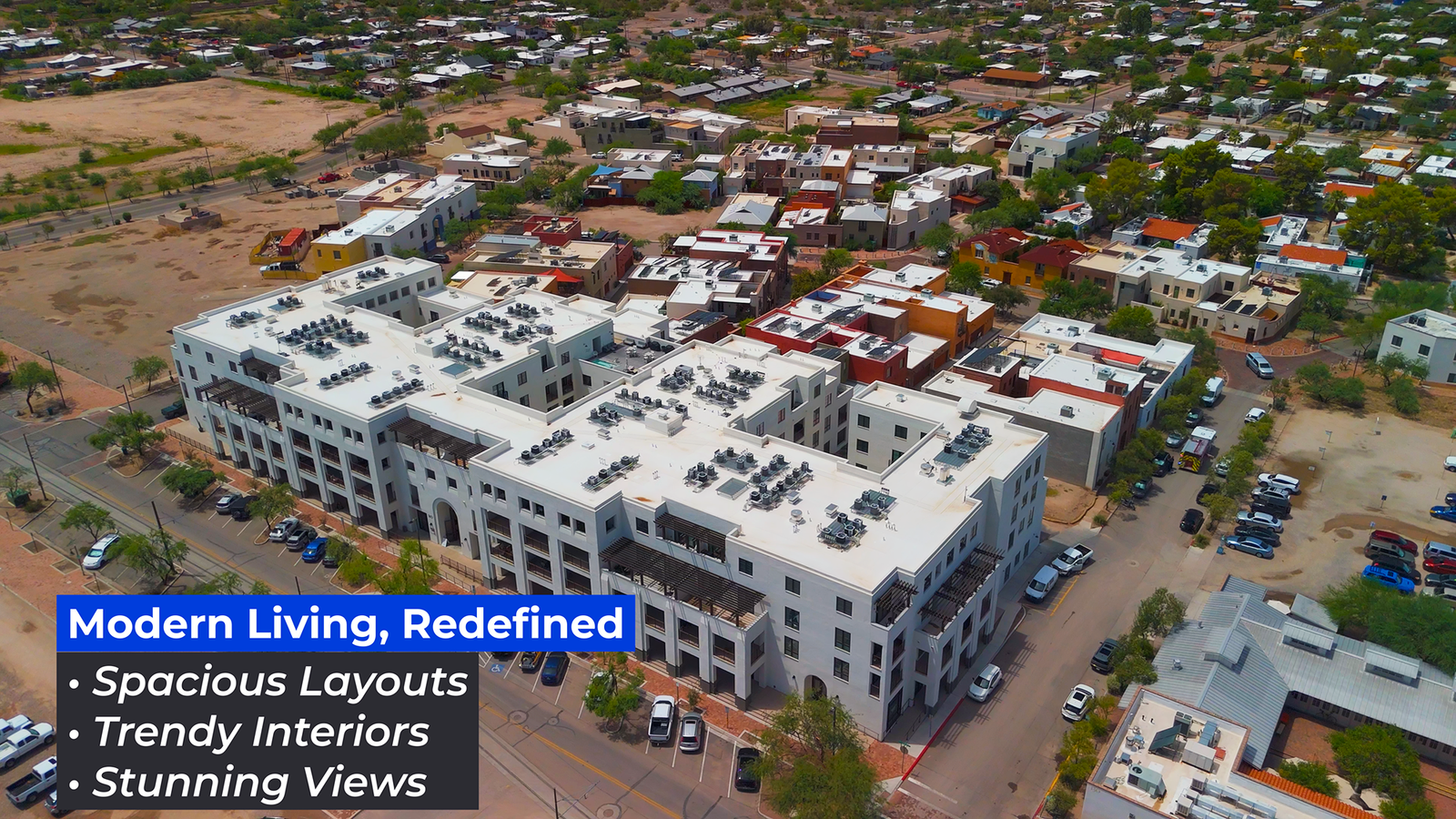
In Tucson and Phoenix, real estate agents are increasingly leveraging drone technology to elevate their marketing strategies. Aerial photography and videography not only provide stunning visuals but also enhance property documentation and listings. At Southwest Drone Tech, we specialize in delivering high-quality drone footage that gives real estate professionals a unique perspective, effectively showcasing properties.
The Value of Drone Technology in Real Estate
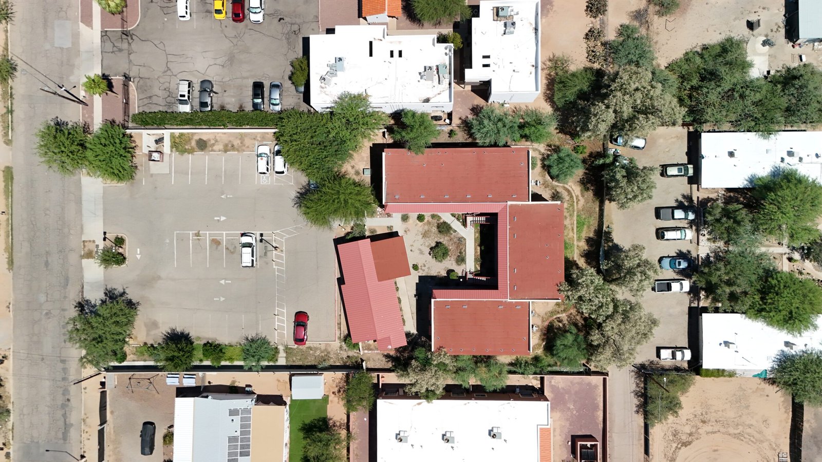
One significant advantage of drone technology is its ability to capture detailed aerial images that highlight properties from multiple angles. This unobstructed view enables agents to showcase unique features and the surrounding environment, making listings more compelling to potential buyers. High-resolution drone photos serve as powerful marketing tools, helping clients visualize the property and its context in the neighborhood. Visit our Real Estate Services.
Enhance Communication and Marketing Efforts
Drone video footage plays a crucial role in client communication, visually conveying the full scope of a property. From capturing the exterior layout to highlighting the interior spaces, aerial videos help clients grasp the entire atmosphere. Incorporating time-lapse footage can create engaging narratives of property transformations, enhancing marketing content. In Tucson and Phoenix competitive real estate market, leveraging aerial imagery to highlight unique features can set agents apart. This not only enhances marketing materials but also builds trust through a strong visual portfolio. Visit our Advertising & Marketing Services.
Streamline Property Showings and Improve Safety
Drones also improve safety and efficiency during property showings. They can access hard-to-reach areas, allowing for a comprehensive assessment without the need for ladders or risky maneuvers. Moreover, drones equipped with advanced technology can provide accurate measurements and generate detailed reports, facilitating better planning for property viewings. Visit our Aerial Inspection Services.
Why Choose Southwest Drone Tech?
At Southwest Drone Tech, we understand the specific challenges faced by real estate professionals in Tucson and Phoenix. Our skilled drone pilots collaborate closely with clients to deliver exceptional aerial imagery tailored to their needs. With cutting-edge equipment, we offer high-resolution photos, 4K videos, and detailed maps that enhance property marketing and create impressive visual portfolios. Visit our Portfolio for more examples.
Southwest Drone Tech LLC Disclaimer
While Southwest Drone Tech LLC excels in aerial data collection, it is important to note that we do not provide interpretations of survey-grade information. For projects where precise measurements are essential, you must consult a licensed land surveyor or survey engineer. We can collaborate with your surveyor to supply valuable data, but our services do not replace the need for a licensed land surveyor in any jurisdiction.
We do offer visual markers or outlines of property areas in our imagery as part of our packages; however, these are for general visual reference only and are not legally binding or survey-grade. This standard applies universally to all drone data collection services unless they employ a licensed surveyor. We do not provide formal boundary delineations for home lots (whether developed or undeveloped) intended for sale due to these limitations.