Aerial Photography
At Southwest Drone Tech, our drone photography services offer a unique and captivating way to showcase properties, events, landscapes, and more. With our advanced drone technology and expert pilots, we deliver high-quality aerial photographs that provide a fresh perspective and a competitive edge for your visual content needs.
Whether you are looking to enhance real estate listings, capture the magic of an event, or create compelling marketing materials, our drone photography services are designed to meet your specific goals.
Our Comprehensive Approach to Drone Photography
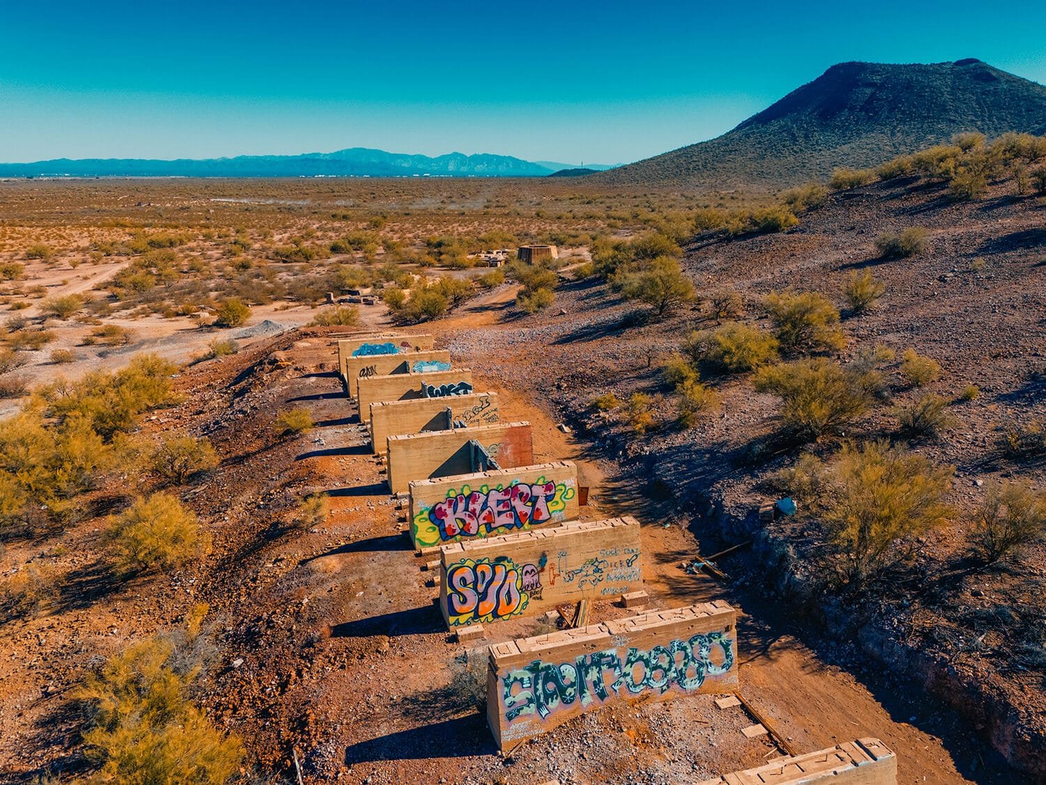
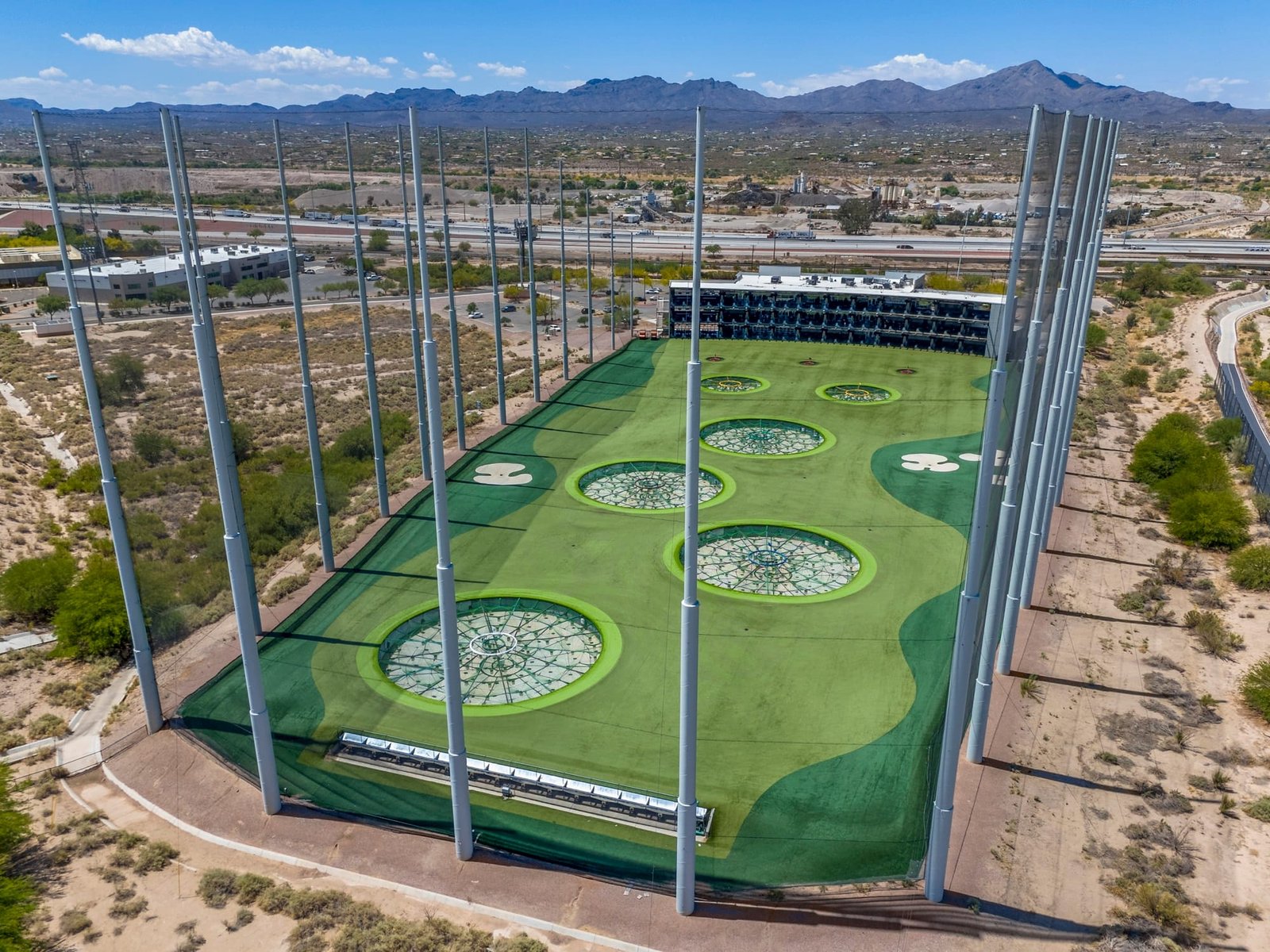
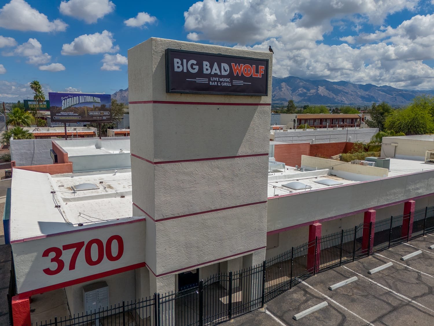
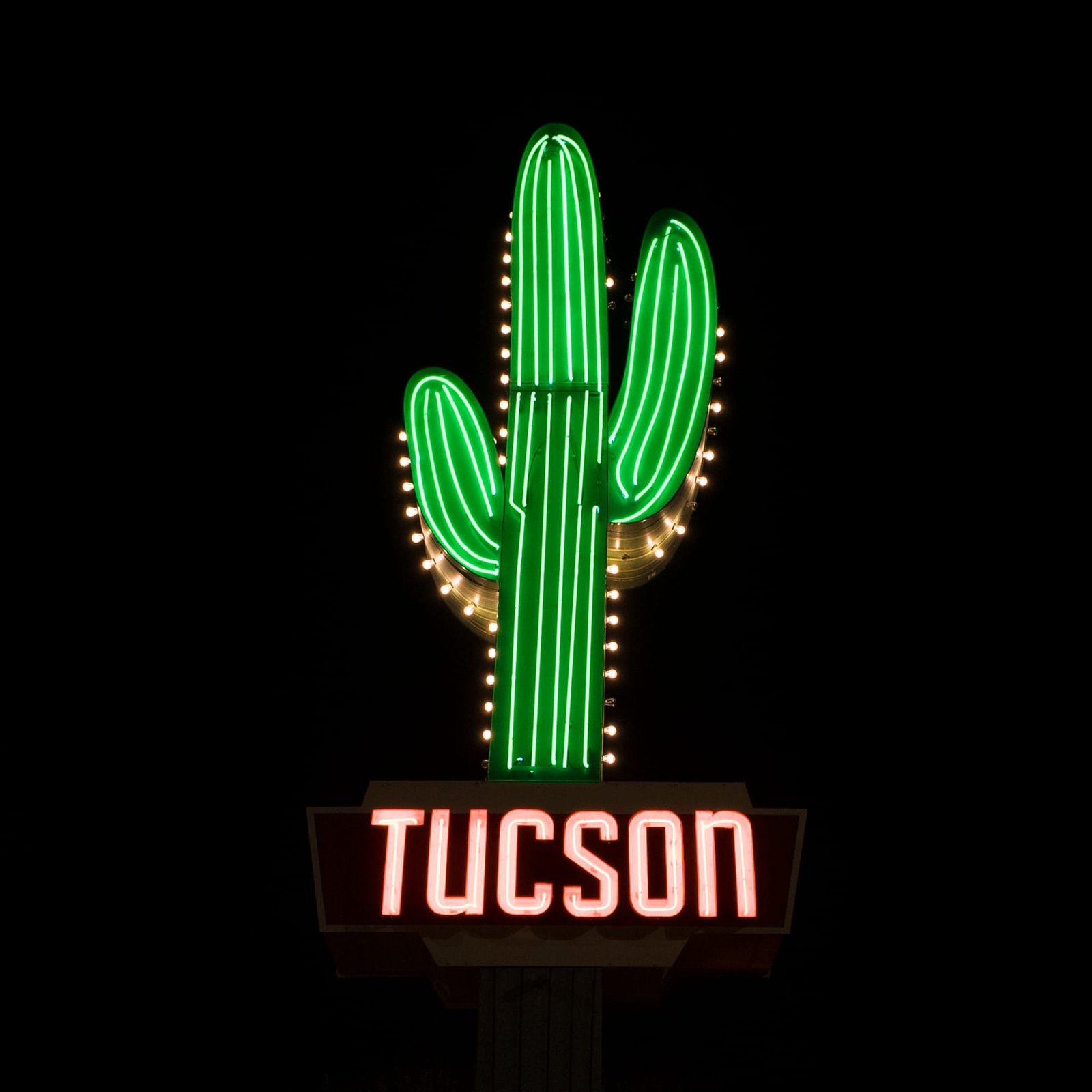
Using state-of-the-art drone technology, Southwest Drone Tech captures stunning aerial photography throughout Tucson, Phoenix, and Arizona.
Our high-resolution images showcase properties, events, and projects from unique, breathtaking perspectives.
We also offer comprehensive visual content services, including the creation of polished, engaging promotional materials and tailored video content to meet your specific needs.
Examples of Drone Photography Services:
- Real estate listings
- Event photography
- Marketing and promotional materials
- Business branding and advertising
- Tourism and travel promotions
- Social media content creation

Why Choose Southwest Drone Tech for Drone Photography?
- High-Resolution, Professional-Grade Imagery: We use state-of-the-art drones equipped with top-of-the-line cameras to capture crisp, detailed, and vibrant images.
- Experienced Pilots and Photographers: Our team combines technical drone piloting skills with creative photography expertise to deliver shots that truly stand out.
- Custom-Tailored Solutions: We offer flexible packages and customized solutions that cater to the unique needs of different industries and projects.
- Post-Processing and Editing Services: Beyond capturing images, we provide professional editing to enhance photos, ensuring they meet the highest standards for quality and impact.

Get Started Today
Ready to transform your marketing campaigns, real estate listings, construction progress reports, or tourism promotions with stunning aerial visuals?
At Southwest Drone Tech, we specialize in drone photography that elevates your brand, captures unique perspectives, and engages your audience. Whether you’re a real estate agent looking to showcase properties in Tucson or Phoenix, a construction manager needing detailed site progress documentation, a business owner creating compelling advertising content, or a tourism company highlighting Arizona’s scenic beauty, our services are tailored to meet your specific needs.
Contact Southwest Drone Tech today to discuss your project, request a customized quote, or schedule a consultation. We are committed to delivering high-quality drone photography that helps you stand out in your industry. Let’s work together to capture your vision from new heights and create visuals that make a lasting impression!

FAQ
What types of drone photography services are available?
We offer a diverse range of aerial imaging services tailored to various needs, including real estate marketing, event documentation, construction progress tracking, tourism promotion, and business branding. Our high-resolution drone photography and videography capture compelling visuals that elevate your project or campaign.
How does drone photography benefit my business?
Drone photography provides unique, high-resolution aerial views that can enhance marketing materials, showcase properties or events, and create engaging visual content for social media and advertising.
How can aerial photography benefit my real estate listings?
Aerial images provide a unique perspective that showcases properties in a more attractive light, highlighting features such as lot size, surrounding landscapes, and architectural details. This approach helps real estate agents create more engaging listings that stand out, attracting more potential buyers and driving higher interest.
Do you provide aerial services for construction and development projects?
Yes, we specialize in aerial imaging for construction sites, helping project managers document progress, monitor safety compliance, and communicate effectively with stakeholders. By capturing each phase from above, our services provide detailed visual records that support better decision-making and project management.
Can drone photography be used for marketing and advertising purposes?
Absolutely. Aerial photography adds a dynamic element to marketing and advertising campaigns by creating eye-catching visuals that can be used in print, digital ads, social media, and promotional videos. This helps businesses differentiate their brand and create a more memorable impact on their target audience.
Are there any restrictions on where you can fly drones?
Yes, drone flights are subject to local regulations and airspace restrictions. We ensure compliance with all relevant laws and obtain necessary permissions for each flight.
What file formats do you provide for video and photo deliverables?
We provide deliverables in various file formats, including MP4 for videos and JPEG/PNG for photos. If you have specific format requirements, please let us know, and we can accommodate them.
What is the process to schedule an aerial photography session?
The process is straightforward: reach out with your specific needs—whether for real estate, construction, events, or business branding. We’ll discuss your project requirements, manage logistics, and plan a session that optimizes lighting, timing, and location to ensure the best aerial footage.
How do you ensure the quality of the final video or photo content?
We use state-of-the-art equipment and editing software to ensure the highest quality. Our team is experienced in capturing and refining visual content to meet professional standards
What makes your drone photography services stand out in Arizona?
Southwest Drone Tech combines cutting-edge technology with a deep understanding of Arizona’s landscapes and local business needs. We serve clients in Tucson, Phoenix, and throughout the state, delivering customized aerial photography solutions that add value to every project through stunning visuals and impactful storytelling.
These answers strategically place locality keywords while providing useful, relevant information for potential clients.
