
The High-Angle Advantage for Commercial Listings in Arizona
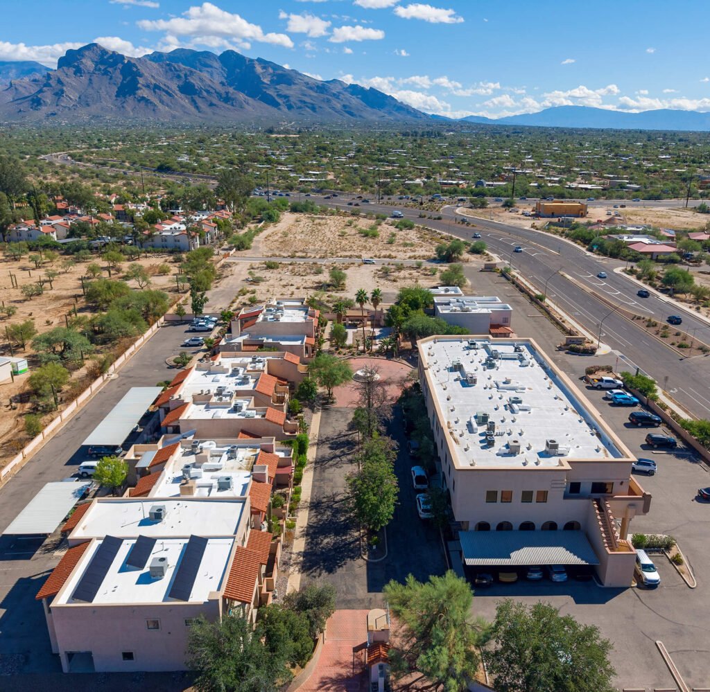
In the competitive landscape of Arizona commercial real estate, location isn’t just about the address—it’s about connectivity. Whether you are marketing a distribution center in Tucson or a retail hub in Phoenix, potential investors need to see how a property integrates into the regional infrastructure. Our Arizona commercial real estate aerial photography provides the “high-angle advantage,” offering a perspective that ground-level photos simply cannot match.
Revealing Proximity to Major Hubs and Infrastructure
For commercial buyers, the value of a property is often tied to its accessibility. Standard photography captures the building, but aerial drone footage captures the ecosystem. In markets like Tucson and Chandler, showing a property’s relationship to major transport veins is essential for a successful listing. View Real Estate Drone Services
- Highway Connectivity: Clearly illustrate a site’s proximity to I-10, Loop 101, or I-17, proving ease of access for logistics and employees.
- Transit and Shipping Hubs: Highlight distances to Tucson International Airport (TUS) or Phoenix Sky Harbor, as well as nearby rail spurs and freight terminals.
- Surrounding Amenities: Use wide-angle aerial views to show nearby retail centers, dining, and competing businesses that drive foot traffic.
Strategic Perspectives for Large-Scale Developments
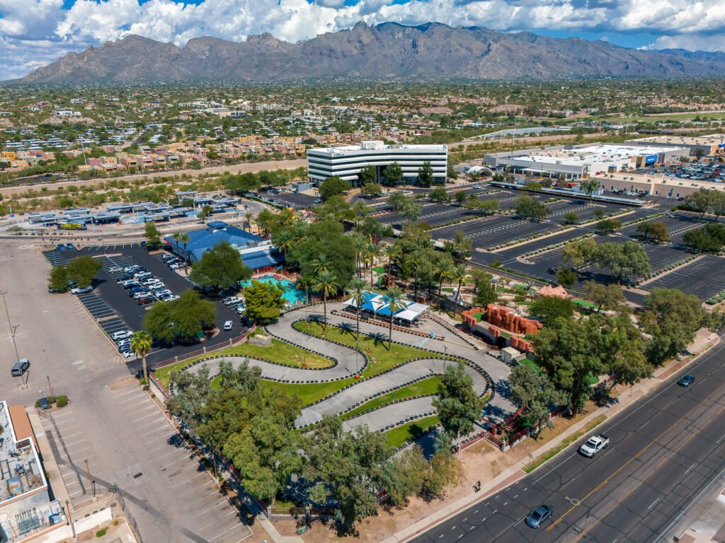
Large commercial campuses or industrial parks require a sense of scale. A high-altitude perspective allows stakeholders to visualize the entire site layout in a single frame. By utilizing professional-grade color science and high-fidelity output, we ensure that every shot looks polished and corporate-ready, reflecting the technical integrity your brand demands.
Comprehensive Visual Solutions for Arizona Markets
We deliver a suite of services designed to make your commercial listings stand out across Tucson, Phoenix, and beyond:
- High-Resolution Aerial Stills: Crisp, clear imagery perfect for brochures and digital listing boards.
- Cinematic Drone Overlays: Video sequences that can include graphics to label nearby highways or landmarks.
- Ground-Level Context: Professional videography that captures the entrance and street-level appeal to complement the aerial views.
- Clean Corporate Editing: Fast turnaround with a focus on a professional, distraction-free aesthetic. View Photo & Video Editing Services provided.
Solving the Context Gap in Commercial Marketing
Marketing a standalone commercial property fails when buyers can’t see the surrounding location value. Professional aerial drone visuals bridge that gap instantly by:
- Mapping the Surrounding Area: Giving prospective buyers a full 360-degree look at the neighborhood and nearby commerce.
- Proving Logistical Advantage: Visualizing major roadways, access points, and traffic flow with real-world clarity.
- Elevating Your Brand: Presenting high-value listings with high-tech media assets that attract premium tenants.
Why Partner With Southwest Drone Tech for Your Arizona Listings?
Marketing commercial real estate in Tucson and Phoenix requires a drone partner who understands both high-end visual production and local market dynamics. Southwest Drone Tech provides commercial drone services tailored to highlight location value, site infrastructure, and regional connectivity across Arizona.
Local Arizona Market Expertise: Deep operational experience in the Tucson and Phoenix metro areas, including key industrial corridors, commercial hubs, and emerging developments.
FAA Part 107 Certified & Insured: Fully compliant, safety-first drone operations equipped for complex commercial job sites, airspace authorizations, and site progress monitoring.
High-Fidelity Visual Production: Technical integrity from capture to post-production, delivering crisp aerial photography and color-graded 4K video optimized for web, MLS, and marketing presentations.
Fast, Reliable Turnaround: We align with the fast pace of commercial real estate sales, delivering polished media assets quickly so you can launch your listings without delay.
Frequently Asked Questions
Q: Can you show the distance to the nearest highway in the video?
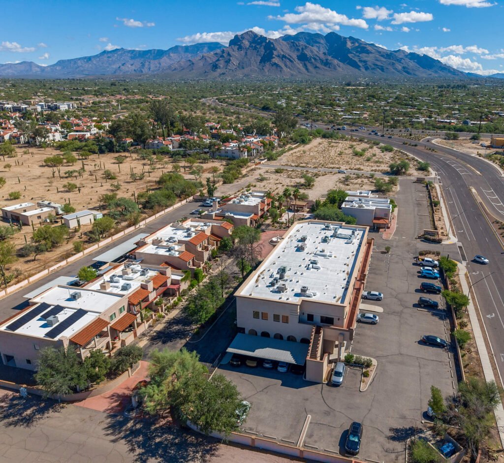
A: Yes. Our high-angle shots are specifically composed to show the property in relation to major infrastructure like the I-10 or local thoroughfares.
Q: Do you provide edited videos for LinkedIn and commercial listing sites?
A: Absolutely. We provide high-fidelity video files optimized for all professional marketing platforms.
Q: How high can the drone fly to capture the surroundings?
A: We operate within FAA regulations, typically up to 400 feet, which is the perfect altitude to capture massive commercial footprints and surrounding hubs.
Q: Are you available for properties outside of Tucson?
A: Yes, we serve the broader Arizona market, including Phoenix, Chandler, and Marana.
Elevate Your Commercial Listing Today
Don’t let your property get lost in a sea of basic ground photos. Give buyers and tenants the full picture with high-impact aerial perspectives that highlight your site’s strategic location, layout, and infrastructure. From Tucson industrial parks to Phoenix retail corridors, we deliver the visual edge your marketing needs.
Ready to showcase your property’s true value?
Contact Southwest Drone Tech LLC
Phone: (520) 333-5839
Website: southwestdronetech.com
Instagram: @southwestdronetech
Email: info@southwestdronetech.com