
Drone Services for the Insurance Industry
In the insurance industry, accurate data is crucial for assessing risk, handling claims, and providing top-tier customer service. At Southwest Drone Tech, we specialize in providing high-quality drone services tailored for insurance professionals. Our advanced drone technology enables precise aerial inspections, faster damage assessments, and efficient claim processing. Whether you’re an insurance adjuster, claims manager, or underwriter, our drone solutions can help you streamline operations and provide unparalleled service to your clients.
Why Use Drone Services in Insurance?
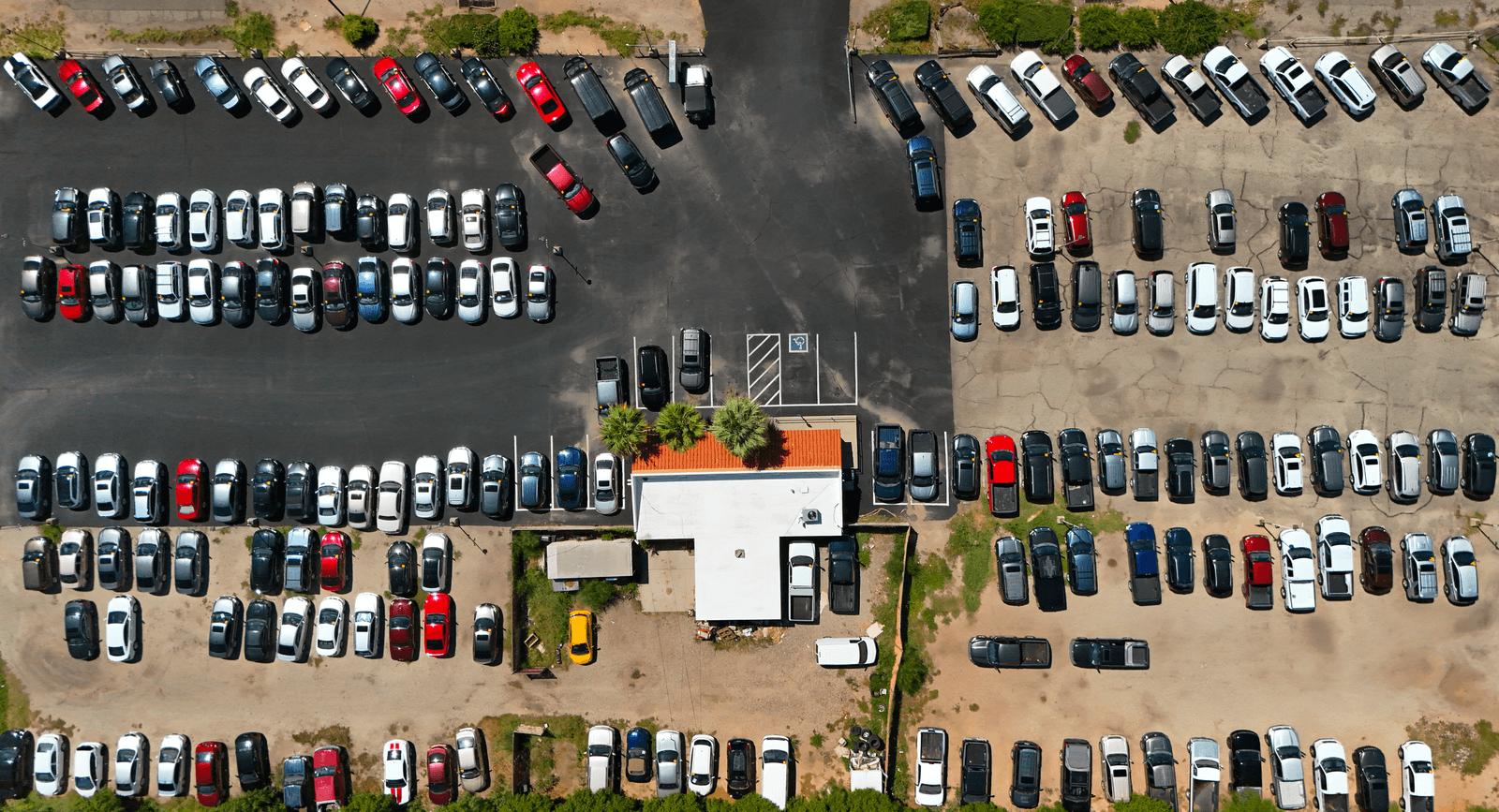
Drone technology offers insurance professionals a powerful tool for capturing detailed aerial imagery and data. With drones, you can safely and efficiently assess property damage, monitor risk, and conduct site inspections without the need for manual, time-consuming methods. This technology not only speeds up the claims process but also minimizes human error and provides accurate documentation for more confident decision-making.
Benefits of Our Insurance Drone Services
- Efficient Claim Adjustments: Quickly assess property damage from natural disasters, fires, or accidents, reducing the time needed for claim approvals and payouts.
- High-Resolution Documentation: Capture detailed images and videos of damaged properties, providing irrefutable evidence that supports accurate claim assessments and settlements.
- Risk Assessment and Underwriting: Use aerial imagery to evaluate the risk of properties, identify potential hazards, and better inform underwriting decisions.
- Enhanced Fraud Detection: Aerial views help identify inconsistencies in claims by providing a comprehensive view of the property, aiding in detecting fraudulent claims.
- Cost-Effective Inspections: Drones reduce the need for extensive manpower and equipment, offering a safer, more efficient, and cost-effective way to conduct inspections.
Insurance Drone Services We Offer
- Damage Assessment and Documentation: Conduct thorough aerial inspections of properties to assess damage following natural disasters, fires, or other incidents, providing high-resolution images and videos for faster and more accurate claims processing.
- Pre-Loss Condition Documentation: Capture comprehensive aerial imagery of properties in their pre-loss state, creating a detailed baseline for future claims and assessments.
- Roof Inspections and Analysis: Utilize drones to safely inspect roofs and other hard-to-reach areas for damage or wear, without the need for ladders or scaffolding, reducing liability risks.
- Risk Monitoring and Evaluation: Provide ongoing aerial monitoring of high-risk properties to identify potential hazards, such as overgrown vegetation, poor drainage, or structural issues, that could lead to future claims.
- Catastrophe Response: Deploy drones rapidly to assess damage in disaster-stricken areas, enabling insurers to prioritize and process a large number of claims quickly and efficiently.
- Fraud Prevention and Verification: Use aerial imagery to verify the accuracy of claims by cross-referencing reported damage with pre-loss conditions and post-incident assessments.
- Construction Progress and Compliance Monitoring: Document ongoing construction or repair work to ensure compliance with insurance requirements and identify potential issues that could impact coverage or claims.
- Homeowners Services: Provide aerial imagery and video for homeowners looking to document their property’s condition, either for insurance purposes, real estate listings, or personal records. Drone inspections can help identify potential maintenance issues, storm damage, or roof deterioration before they become costly problems.
Disclaimer: Southwest Drone Tech LLC is not a licensed insurance adjuster, agent, or claims specialist. Our services are limited to aerial data collection, including photography, videography, mapping, and related deliverables. We do not provide assessments, evaluations, or claims determinations. All decisions regarding insurance coverage, claims processing, and risk analysis are the sole responsibility of licensed insurance professionals.
Clients We Help
Southwest Drone Tech LLC provides professional aerial imaging and data collection services to businesses and industries throughout Tucson, Phoenix, and across Arizona. Our insurance-related drone services help companies streamline claims processing, document property conditions, and reduce liability risks with high-resolution aerial photography, videography, mapping, and inspections. Industries that can benefit from our FAA-certified drone services include:
- Real Estate & Property Management: Aerial inspections and pre-loss documentation for homeowners, real estate agents, landlords, and property managers looking to assess roof conditions, storm damage, or overall property value.
- Construction & Development: Tucson and Phoenix contractors, builders, and developers use our drone inspections for construction progress monitoring, compliance documentation, and risk assessment.
- Insurance Companies & Adjusters: High-resolution aerial imagery provides adjusters and insurance firms with fast, accurate data for claims verification, fraud prevention, and damage evaluation.
- Agriculture & Farming: Farmers and agricultural businesses in Arizona use drone technology for crop damage assessment, irrigation analysis, and pre-loss condition documentation to support insurance claims.
- Retail & Commercial Locations: Shopping centers, office buildings, and business owners benefit from drone inspections to monitor risks, document storm damage, and assess structural conditions.
- Industrial & Warehousing: Manufacturing facilities and warehouses rely on drone-based roof inspections and infrastructure assessments for insurance compliance, maintenance planning, and risk management.
- Disaster Response & Recovery Teams: First responders, emergency management teams, and restoration companies use drones for rapid damage assessment after wildfires, monsoons, floods, and other disasters in Arizona.
- Legal & Financial Services: Law firms, lenders, and financial institutions depend on drone imagery for property condition documentation, asset valuation, and litigation support.
By utilizing drone technology, businesses across these industries can improve efficiency, reduce costs, and obtain precise, high-resolution data without the risks associated with manual inspections. Southwest Drone Tech LLC is committed to delivering high-quality aerial imagery and data to support insurance-related needs in Tucson, Phoenix, and beyond.
Get Started with Our Insurance Drone Services
Enhance your insurance operations with Southwest Drone Tech’s professional drone services in Tucson, Phoenix, and throughout Arizona. Our advanced aerial technology provides accurate, up-to-date data to support damage assessments, claims validation, and risk monitoring for insurance companies, real estate inspections, and homeowners. By integrating drone solutions into your workflow, you can improve efficiency, reduce costs, and provide faster, more precise service to policyholders and property owners.
Partnering with Southwest Drone Tech means working with experienced professionals who understand the unique needs of the insurance industry and related fields. Our high-resolution imagery and data collection help streamline the claims process, mitigate liability, and detect potential fraud. Whether you need rapid disaster response assessments, roof inspections for real estate transactions, or comprehensive pre-loss documentation for homeowners, our drone services deliver reliable insights to support informed decision-making.
Contact us today to request a quote or schedule a consultation and discover how Southwest Drone Tech can elevate insurance, real estate, and property assessment services in Tucson, Phoenix, and beyond.