Real Estate Drone Services
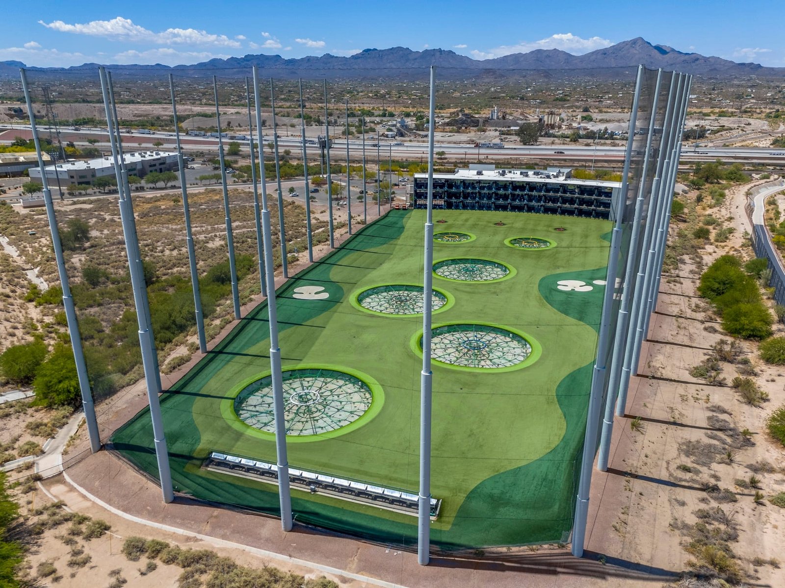
Real estate agents in Tucson and across Arizona rely on professional drone services to make their listings stand out. At Southwest Drone Tech, we provide sharp, high-resolution aerial photos and cinematic video tailored for real estate marketing. Whether it’s a home, land, or commercial property, our drone footage helps showcase key features, boost engagement, and drive faster sales.

Why Use Drones in Real Estate?
Drone technology offers a unique perspective that traditional photography simply cannot achieve. By capturing expansive aerial views, drone footage provides potential buyers with a comprehensive understanding of a property’s layout, surroundings, and features. This is particularly beneficial for large estates, commercial properties, and homes in scenic locations. High-quality aerial visuals can lead to faster sales, higher offers, and a more professional marketing approach.
Benefits of Our Real Estate Drone Services
- Enhanced Property Listings: Attract more potential buyers with high-definition aerial photos and videos that highlight the property’s best features and surroundings.
- Unique Angles and Perspectives: Capture breathtaking angles that give potential buyers a complete sense of the property, its lot, and its proximity to nearby amenities.
- Virtual Tours and 3D Mapping: Create immersive virtual tours and 3D models to provide clients with a realistic feel of the property from anywhere in the world.
- Save Time and Costs: Eliminate the need for expensive helicopter flyovers or cumbersome setups with our quick and efficient drone solutions.
- Stand Out in the Market: Differentiate your listings from competitors with eye-catching visuals that enhance marketing materials and online presence.
Real Estate Services We Offer
- Aerial Photography: High-resolution images that capture the entire property, including landscapes, pools, gardens, and nearby amenities.
- Aerial Videography: Smooth, cinematic video footage for promotional videos, virtual tours, and more.
- 360-Degree Virtual Tours: Immersive, interactive experiences that provide buyers with an in-depth view of the property.
- 3D Mapping and Modeling: Advanced 3D models for real estate developments, giving buyers and investors a detailed understanding of layouts and future potential.
- Construction Progress Monitoring: For developers and investors, we offer regular aerial updates to monitor construction progress and provide stakeholders with visual updates.
- Raw Land & Large Acreage Listings: Aerial imagery and 3D mapping to showcase terrain, accessibility, and potential land use for buyers and investors.
- Commercial Real Estate Marketing: Drone videos highlighting retail spaces, office buildings, and industrial properties, showcasing location advantages and property features.
- FPV Fly-Throughs: High-speed, first-person drone tours through interiors and exteriors, perfect for immersive real estate marketing.
- Marketing & Promo Material: Social media-ready clips, teaser videos, and branded content to enhance real estate listings and agent marketing efforts.
- Inspection & Documentation: Roof inspections, damage assessments, and insurance documentation to provide valuable pre-listing insights.

