Drone Services for Roofers and Roof Inspections
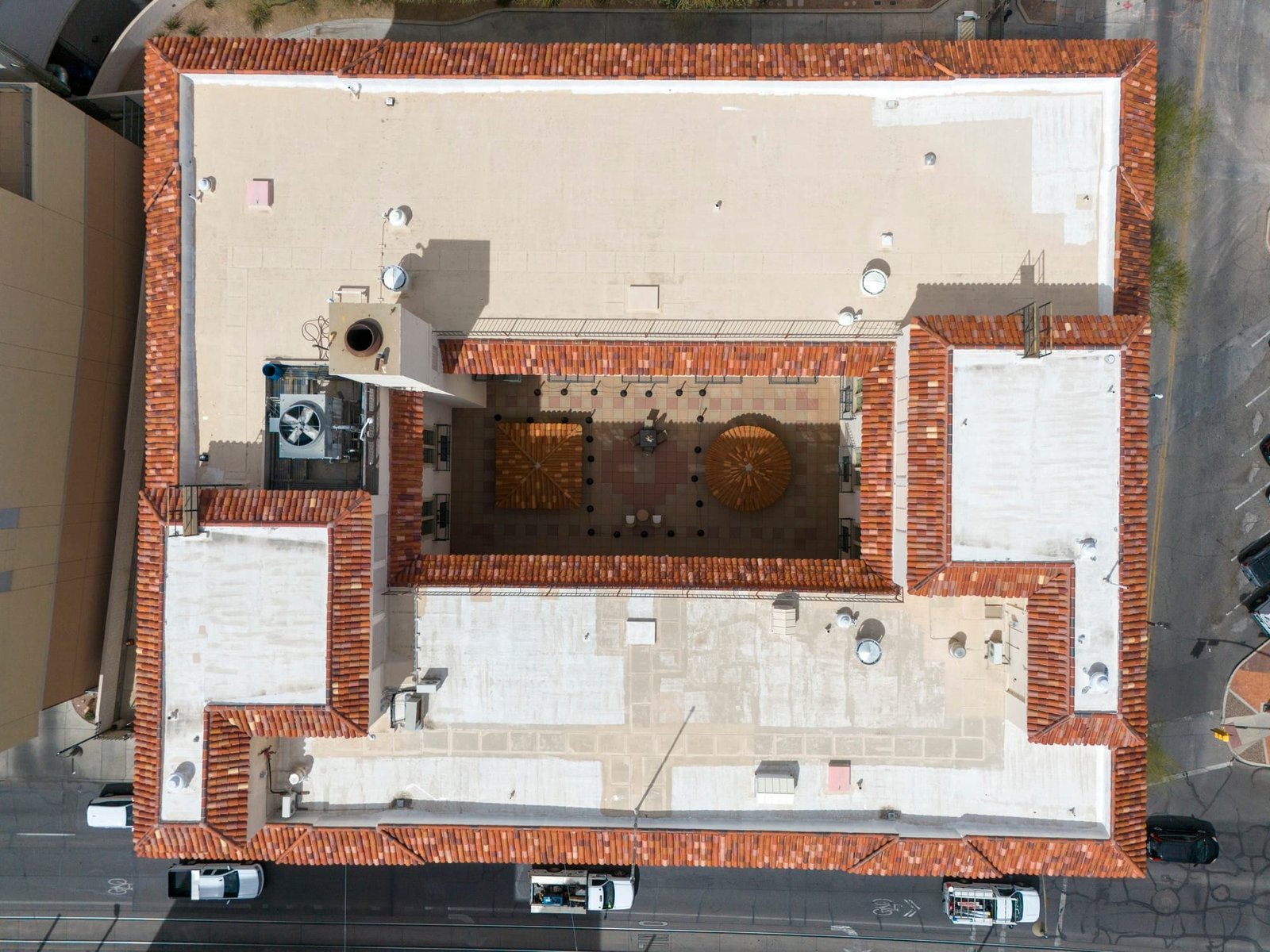
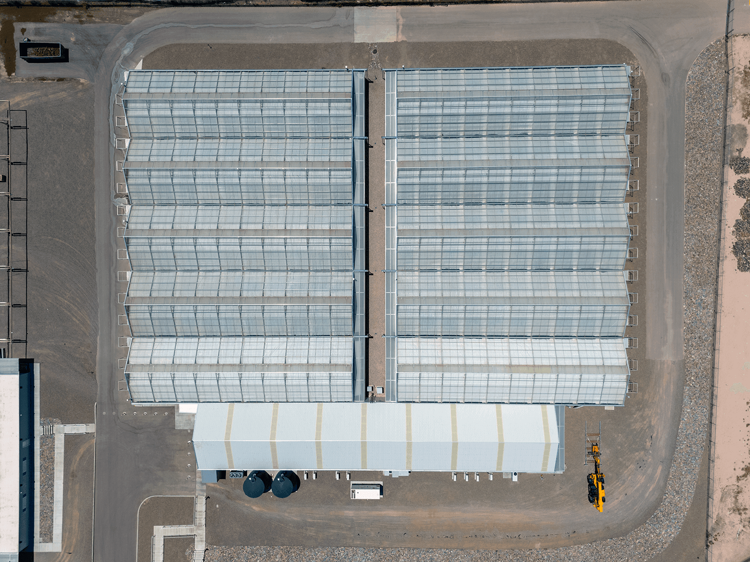
In the roofing industry, precision and efficiency are essential for successful repairs and inspections. Southwest Drone Tech, serving Tucson, Phoenix, and the greater Arizona area, offers advanced drone services designed specifically for roofers. Our high-resolution imagery and detailed data empower roofing companies to streamline repairs, installations, and evaluations. With cutting-edge drone technology, we provide a comprehensive view of roofing projects, enabling better planning, faster execution, and more accurate results.

Why Use Drones for Roofing?
Drones provide an efficient, safe, and precise method for inspecting and managing roofing projects. Traditional inspection methods can be time-consuming and risky, requiring physical access to the roof. Drones eliminate these risks by offering detailed aerial views, which help identify issues, plan repairs, and monitor installations more effectively. This approach enhances accuracy, reduces operational risks, and speeds up the overall process.

Benefits of Drone Services for Roofing
- Detailed Roof Inspections: Conduct thorough inspections from various angles, detecting damage, wear, or potential issues without needing physical access to the roof.
- Comprehensive Damage Assessment: Obtain high-resolution images for accurate damage assessment, aiding in insurance claims and repair planning.
- Efficient Repair and Maintenance Planning: Utilize aerial data to plan and execute roof repairs and maintenance more effectively, optimizing resources and reducing downtime.
- Quality Assurance for Roof Installations: Monitor and document new roof installations to ensure compliance with specifications and industry standards.
- Enhanced Safety: Minimize the need for ladders or scaffolding, reducing the risk of accidents and improving safety for roofing crews.
- Improved Documentation and Reporting: Generate detailed reports and visual documentation of roof conditions and repairs, enhancing communication with clients and stakeholders.

Roofing Services We Offer
- Roof Inspections – Perform detailed aerial surveys to inspect roof conditions, identify issues such as leaks, damage, or wear, and provide comprehensive reports.
- Damage Assessment – Use high-resolution imagery to assess damage from storms, accidents, or other events, facilitating accurate repair estimates and insurance claims.
- Repair Planning – Leverage drone data to plan and execute roof repairs efficiently, ensuring precision and effectiveness in addressing identified issues.
- Installation Monitoring – Document and monitor new roof installations to verify adherence to specifications and ensure quality control.
- Maintenance Tracking – Track and document roof conditions over time to schedule timely maintenance and prevent major issues before they arise.
- Marketing & Promotional Videos – Showcase completed projects with high-quality aerial footage for social media, websites, and client presentations.
- Before & After Comparisons – Provide striking visual transformations with before-and-after drone shots to highlight the quality of your work.
- Progress Monitoring – Capture time-lapse or sequential aerial imagery to track roofing projects from start to finish, keeping clients and stakeholders informed.
- Insurance Documentation – Provide detailed aerial imagery and video for insurance claims, ensuring a thorough record of pre-existing conditions, damage, and completed repairs.
- 3D Roof Mapping & Measurements – Generate accurate 3D models and roof measurements to streamline planning, quoting, and material estimation.
- Safety & Compliance Documentation – Conduct aerial safety audits to ensure compliance with regulations while reducing the need for manual inspections in hazardous conditions.
- Gutter & Drainage Assessments – Use aerial imaging to inspect and document gutter conditions, drainage issues, and potential water damage risks.
Elevate Your Roofing Projects with Southwest Drone Tech
Transform the way you handle roofing projects with Southwest Drone Tech, Arizona’s premier drone service provider for roofers in Tucson, Phoenix, and beyond. Our advanced drone technology streamlines everything from roof inspections and damage assessments to installation monitoring and marketing visuals, helping you work smarter, faster, and safer.
With high-resolution aerial imagery and 3D roof mapping, you can assess storm damage, track maintenance needs, and verify installations with unmatched precision. Our before-and-after comparisons and progress monitoring ensure you have clear documentation at every stage, while marketing videos showcase your craftsmanship and set you apart from the competition. By reducing the need for ladders and scaffolding, our drone services also enhance job site safety and efficiency.
Take your roofing operations to the next level with cutting-edge drone solutions. Contact Southwest Drone Tech today for a quote or consultation and see how our services can help you optimize workflow, improve accuracy, and deliver exceptional results.
Disclaimer: Southwest Drone Tech provides aerial data collection services for roofing inspections, damage assessments, and related applications. Our role is limited to capturing high-resolution imagery, video, and mapping data using drone technology. We do not perform structural evaluations, interpret findings, diagnose damages, or provide repair recommendations. Any analysis, assessment, or decision-making based on the data we collect is the sole responsibility of the client or a qualified roofing professional. Clients should consult licensed contractors, inspectors, or insurance adjusters for official evaluations and determinations.
